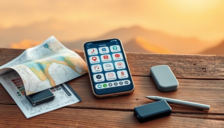
Prepare once, stay calm later. With some planning, your smartphone becomes a compact toolkit that holds maps, tickets, translations, and media even when you lose a network signal. This guide shows which features and apps to set up so essential information stays at hand. Built-in tools like a compass, camera, and file viewers work without …

Get a practical system for reliable navigation in the field. This article shows how to blend paper topographic sources, a precise baseplate compass workflow, and modern GPS support to plan routes and move with confidence. Start by favoring USGS 1:24,000 topographic sheets for detail: 50-foot contours, WGS84 latitude/longitude, and UTM grids. Note that many sheets …
The phone in your pocket already has a capable compass app and sensor suite that works without a network. By using GPS signals and the magnetometer, your device can show heading, azimuth in degrees, and an estimated position in real time. Offline navigation means your phone can guide you when cellular data is out. This …

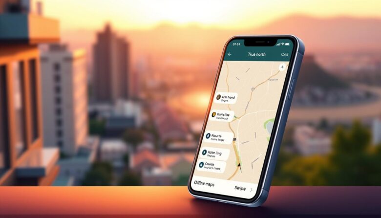
Google Maps has transformed how we explore the world, offering real-time traffic updates and precise directions. But what happens when you lose internet access? Modern travelers often face unreliable connectivity in remote areas or foreign cities, making trip planning challenging. Downloadable maps provide a practical solution. These tools let users save detailed geographical data directly …